songvera030@gmail.comLewiston, Maine
LinkedIn
Where Science, Data & Community Meet
Turning spatial data into clear maps and decisions, using ArcGIS Pro, GPS and remote sensing.
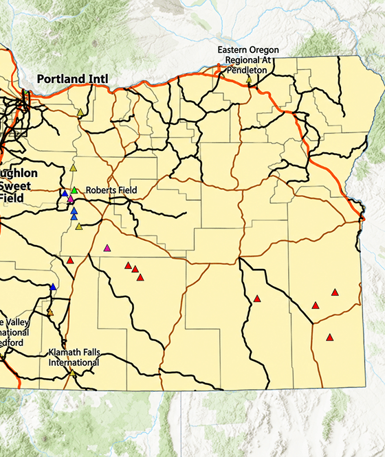
SELECTED WORK: GIS Chapter Labs NYC Energy & Climate Stations
Water quality sampling, stream habitat surveys, ecological monitoring and trail and invasive-species mapping.
SELECTED WORK: Hartbrook Data 2026 Beach Profiles
Organic, analytical and computational chemistry, including spectroscopy, titration and DFT.
SELECTED WORK: Diels–Alder Wittig Column Chromatography Antacid Titration
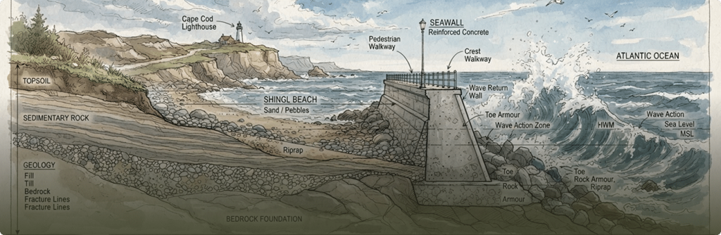
Coastal processes, sediment movement and shoreline change measured through careful field surveys and profile analysis.
SELECTED WORK: Sediment Transport Seawall Beach Profiles
Connecting environmental evidence with policy, education and community priorities.
SELECTED WORK: Environmental Policy Research
Interpreting complex data and communicating findings through clear visualizations, reports and scientific writing.
SELECTED WORK: LaTeX Portfolio GIS Mapping Systems
Ask the question
Design the method
Collect evidence
Analyze carefully
Share what matters
Coastal Science
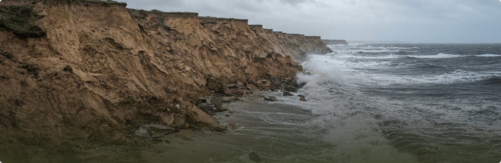
Measuring shoreline retreat across beach profiles.
Environmental Science
Understanding erosion in high-risk environments.